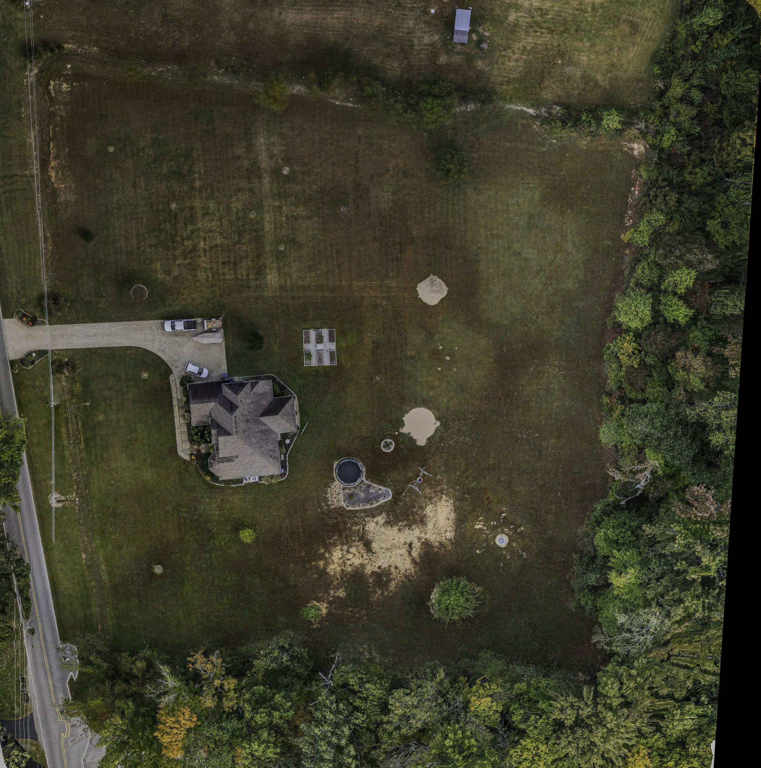
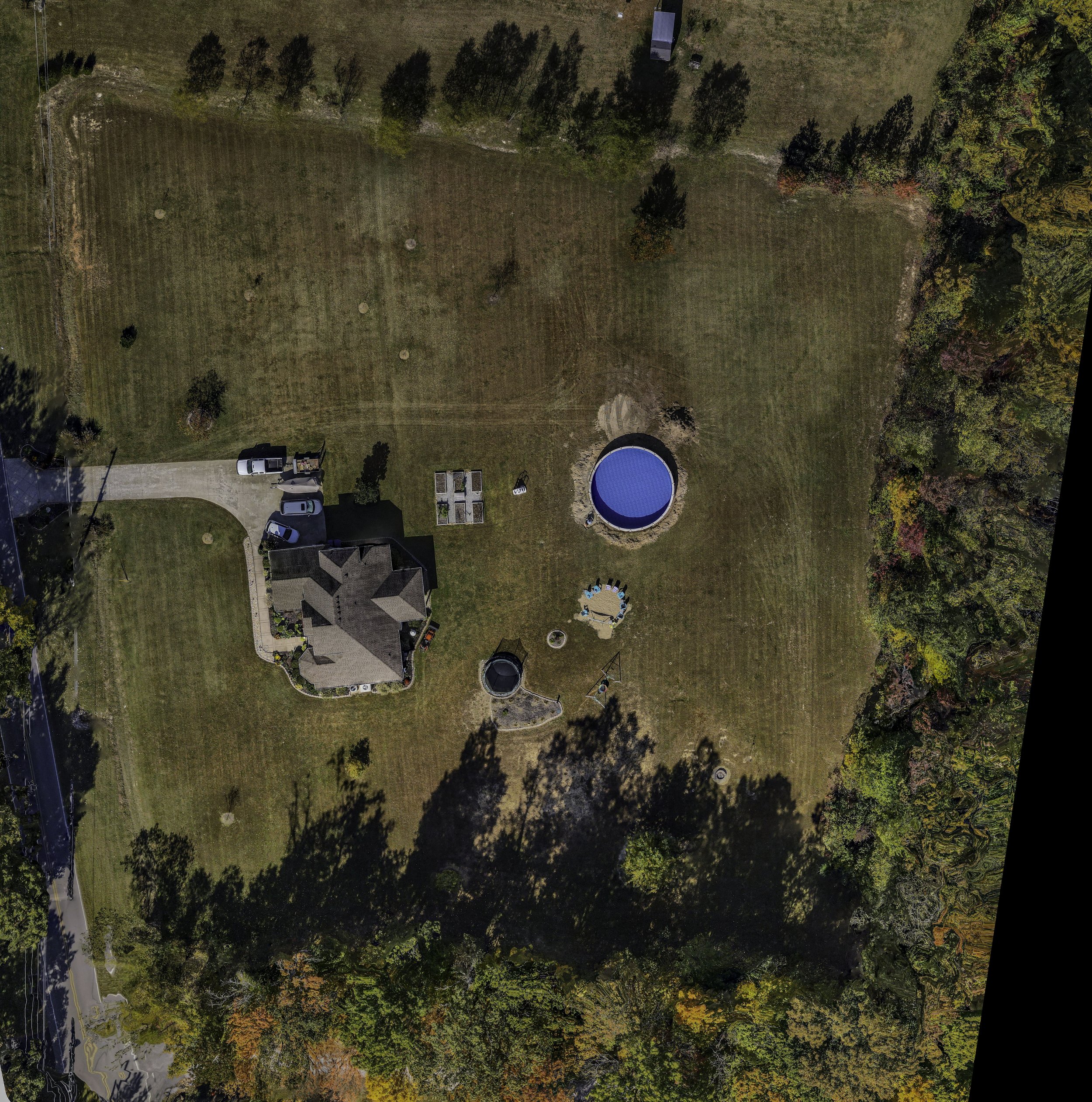
Use the slider to compare before-and-after aerial images captured at different stages of a project. This tool helps visualize construction progress, agricultural changes, or infrastructure developments over time, providing a clear and interactive way to track transformations with precision.
This aerial video captures a dynamic, high-resolution view of the site, providing a unique perspective that showcases key details in motion. Ideal for real estate, construction progress, and promotional content, drone videography brings your project to life with stunning visuals.
Explore a fully immersive 360-degree aerial view of the site. This interactive panorama allows you to navigate the environment from every angle, providing a comprehensive perspective ideal for real estate, construction monitoring, and site assessments.
This interactive 3D model provides a detailed, accurate representation of the site, allowing users to explore structures and terrain from any angle. Perfect for construction planning, inspections, and site analysis, 3D imaging enhances visualization and decision-making with precise spatial data.
This experimental 3D model, processed using Luna Labs technology, offers a cutting-edge approach to site visualization. By enhancing detail and accuracy, it provides a powerful tool for inspections, planning, and analysis, pushing the boundaries of drone-based 3D imaging.
This Digital Surface Model (DSM) provides a detailed elevation map of the terrain and structures within the scanned area. By capturing elevation data, DSMs help in site planning, flood analysis, and construction monitoring, offering valuable insights that go beyond traditional aerial imagery.


